The first big snow-producing storm system of the season will plow across Wisconsin Wednesday and Thursday, possibly bringing blizzard conditions to some locations.
Evidence as of early Tuesday morning suggests that the worst conditions will be well north and west of Milwaukee. Milwaukee will likely have rain initially, starting early Wednesday night. Some time late Wednesday night or early Thursday morning, the rain will become mixed with, then change to snow. The snow will then continue into Thursday afternoon.
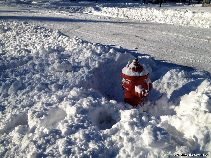
Indications are that Milwaukee will receive 2-4 inches of snow. Totals near Lake Michigan will be on the low end of that range, with inland areas reaching the high end.
Meanwhile, accumulations will be much higher further inland. This is because what falls further west will start earlier, and will be all snow. The highest amounts, 8 to 12 inches, are expected in communities such as Watertown, Beaver Dam, Waupun and Fond du Lac. Amounts of 4 to 8 inches will be found across Waukesha and Ozaukee counties. (See my high-tech forecast map for my snow forecast across all of southeastern Wisconsin.)
The impact of this storm on Milwaukee will not be terribly high. Aside from being the first accumulating snow of the year, the storm isn't expected to be too noteworthy for the city. On the other hand, areas well inland may very well be dealing with a full-fledged blizzard during parts, or all, of Thursday.
Winds are expected to gust over 35 miles per hour while the snow falls on Thursday, and they will likely continue well after the snow has stopped on Thursday night. I've seen the word "paralyzing" used to describe the potential conditions where the heaviest snow will fall. While I might take issue with that word a little, I won't go out of my way to argue against it too much. Areas which receive the combination of 8 to 12 inches of snow and wind gusts over 35mph are in for a rough go of it on Thursday ... and perhaps Friday as well.
In addition to the communities I referred to above, Madison and Wisconsin Dells are also in the area expected to be hit the hardest.
And on top of everything else, I can't rule out some thunder and lightning during the height of the storm. That's always cool!
Be safe, be smart, and check back here at OnMilwaukee.com periodically. I'll keep you updated if anything changes.
Craig is a meteorologist who was born and raised in Pewaukee. After getting a degree in Meteorology from the University of Wisconsin-Madison, he worked over 20 years on TV and radio in Milwaukee, Madison, Omaha, Nebraska and Kansas City, Missouri.
Craig spends most of his time trying to keep up with his bride and their three teenage daughters. Any time left over is spent with his other beloveds, the Packers, Brewers and Badgers.