The snowstorm that has been talked about for several days will hit Wisconsin Wednesday night and continue through Thursday. A full-fledged blizzard is expected in the central part of the state, where snow totals are expected to exceed a foot and wind gusts will be over 40 miles per hour.
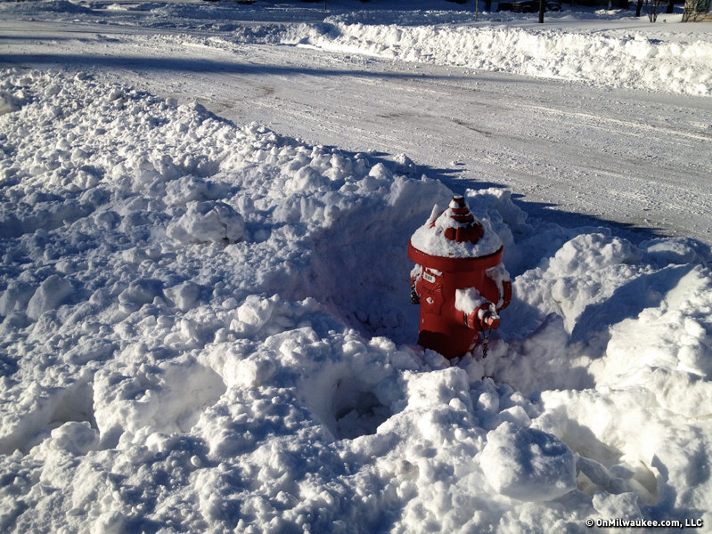
Meanwhile, snow will indeed fall in Milwaukee, too, although accumulations will be just in the 2-6-inch range.
The precipitation will begin in Milwaukee Wednesday night and likely will be all rain. It may very well continue to be all rain through most or all of the night. The changeover from rain to snow is expected to take place some time Thursday morning. Snow will then continue in the city through the rest of the day before ending Thursday evening.
Winds of 25 to 40 miles per hour will blow the snow around quite a bit, although this will be mitigated a bit by the fact that the snow in Milwaukee will be rather wet and heavy. Temperatures in Milwaukee through much of Thursday will be above freezing which keep the snow from accumulating too much on city roads and freeways.
Further inland, there is potential for a crippling blizzard. Southwest and Central Wisconsin, including Fond du Lac, Waupun, Beaver Dam, Madison and Wisconsin Dells, will have all snow right from the start. The snow will fall steadily and heavily through Wednesday night and much of Thursday. Winds will whip to over 40 miles per hour, at times making travel impossible and dangerous.
In between Milwaukee (2-6 inches) and central Wisconsin (12-16 inches) plenty of snow will fall, as well:
- Waukesha County accumulation will range from around 4 inches in the southeast to near 12 inches in the northwest.
- Ozaukee County accumulation will range from around 4 inches in the southeast to near 12 inches in the northwest.
- Walworth County accumulation will be 4 to 8 inches.
- Washington County accumulation will range from around 6 inches in the southeast to around 12 inches in the northwest.
This snowstorm will be so powerful it may produce thunder and lightning at times.
If the storm evolves the way I think it will, I expect following impacts in these areas:
- Milwaukee: It will be a bother. It will cause wet or slushy roads and it will be windy and cold. Yet, it will not be what most of us would consider a major snowstorm.
- Waukesha/Brookfield: Four to eight inches of accumulation and 40-mile-per-hour winds will certainly make for tough travel and difficulty keeping the roads clear. I would classify this as a "moderate" snowstorm for these cities.
- Madison/Beaver Dam/Fond du Lac: Shut. It. Down. I would expect schools, businesses and even state government to close on Thursday. Much of Thursday will meet the criteria to officially be called a blizzard. Travel will not just be difficult, it will likely become impossible.
Finally, that white Christmas thing? Yeah, it's happening.
Craig is a meteorologist who was born and raised in Pewaukee. After getting a degree in Meteorology from the University of Wisconsin-Madison, he worked over 20 years on TV and radio in Milwaukee, Madison, Omaha, Nebraska and Kansas City, Missouri.
Craig spends most of his time trying to keep up with his bride and their three teenage daughters. Any time left over is spent with his other beloveds, the Packers, Brewers and Badgers.