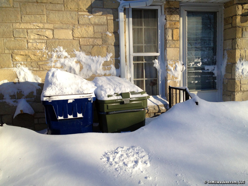

The bitter cold of the last few days was apropos when considering historical average temperatures across southern Wisconsin. On average, the coldest week of the year in southern Wisconsin is roughly Jan 14-20. Beginning now, the average temperature begins its long, painfully slow climb upward. But it is upward! Feel free to consider winter halfway over.
Of course, there will be plenty more cold weather to come. In the short term, looks like we'll have a warm-up through early next week, with highs in the upper 30s to near 40 by next Monday, Jan. 28 and Tuesday, Jan. 29.
Projecting out even further, it looks like we'll have a weather system come through and bring rain and snow somewhere in the next Tuesday, Jan. 29 – Wednesday, Jan. 30 range. Following that, indications are we'll head back into a deep-freeze, similar to the one we've had the past few days.
Passing the halfway point of winter is a nice milestone for those who aren't fans of the cold season. Still, it does not mean that we don't still have plenty more cold weather in store.
Craig is a meteorologist who was born and raised in Pewaukee. After getting a degree in Meteorology from the University of Wisconsin-Madison, he worked over 20 years on TV and radio in Milwaukee, Madison, Omaha, Nebraska and Kansas City, Missouri.
Craig spends most of his time trying to keep up with his bride and their three teenage daughters. Any time left over is spent with his other beloveds, the Packers, Brewers and Badgers.