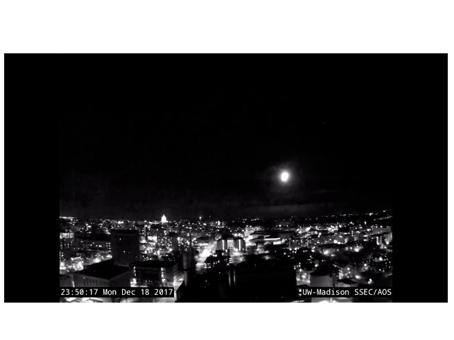

On average, Milwaukee’s first trace of snow falls on Oct. 28. This year, it occurred on Nov. 7. Here are the dates of the first trace of snow over the past five years:
- 2012 – Nov. 12
- 2011 – Nov. 9
- 2010 – Nov. 24
- 2009 – Nov. 25
- 2008 – Oct 26
The earliest first trace of snow on record in Milwaukee occurred Sept. 20, 1954. The latest occurred on Dec. 5, 1999.
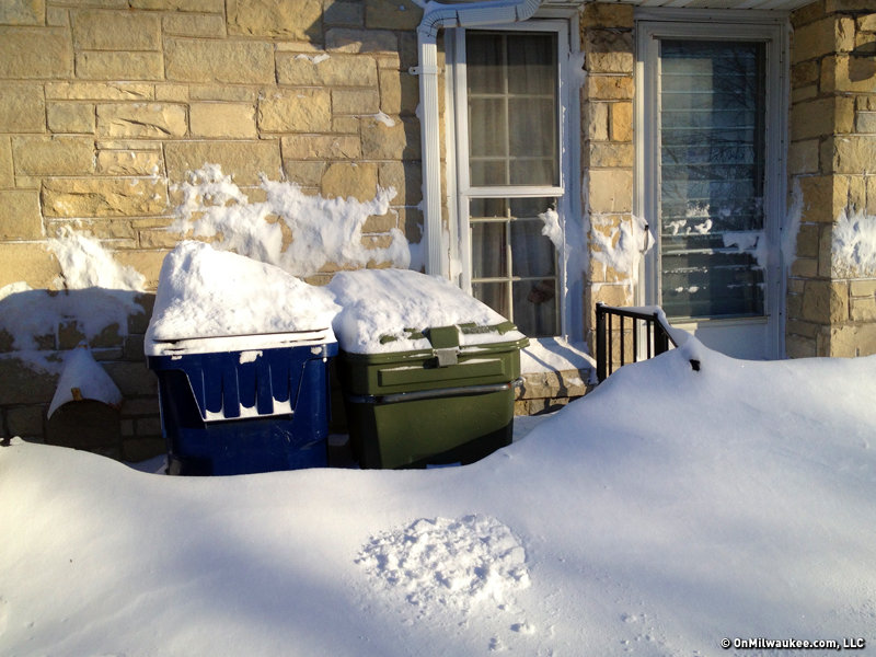
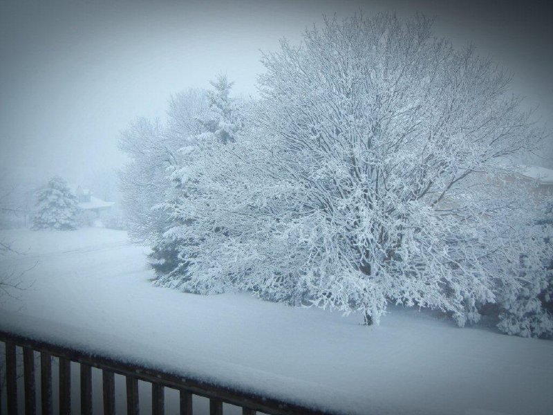
On average, the first snowfall of 1.0" or more in Milwaukee occurs on Dec. 2. The earliest 1.0" snowfall on record occurred on Oct. 17, 1896. The latest occurred on Jan. 20, 1889.
Over the coming months, we’ll likely have many winter weather bulletins issued by the National Weather Service. Here are the most common bulletins and what they mean:
WINTER STORM WATCH
This bulletin is issued to provide 24 to 48 hours notice of a potential severe winter weather event. A Watch means that severe winter weather may develop, but there is uncertainty with the path or strength of a developing winter storm. A Watch may be transitioned to a Warning or Advisory if severe winter weather becomes more certain.
WINTER STORM WARNING
This bulletin is issued when severe winter weather is occurring or is imminent. Typically, this warning is used when heavy snow exceeding 6 inches is expected in a 12-hour period or 8 inches or more in a 24-hour period. This warning also may be issued for lesser amounts of snow if the snow is expected during peak rush hour periods or with strong winds of 25 to 34 miles per hour.
WINTER WEATHER ADVISORY
This bulletin is a bit of a "catch-all" bulletin which can be issued for a variety of winter weather conditions. It is typically issued for winter weather that is not expected to be life-threatening if reasonable caution is exercised. Winter Weather Advisory conditions include…
- Snow accumulations of 3 to 6 inches in 12 hours or less with winds under 25 miles per hour.
- Snow accumulations less than 3 inches if the snow is expected during peak rush hour periods.
- Snow and/or blowing snow causing visibilities occasionally one-quarter mile or less for 3 hours or more.
- A mix of snow, sleet, or freezing rain.
- Sleet accumulations of one-half inches to 2 inches.
Craig is a meteorologist who was born and raised in Pewaukee. After getting a degree in Meteorology from the University of Wisconsin-Madison, he worked over 20 years on TV and radio in Milwaukee, Madison, Omaha, Nebraska and Kansas City, Missouri.
Craig spends most of his time trying to keep up with his bride and their three teenage daughters. Any time left over is spent with his other beloveds, the Packers, Brewers and Badgers.